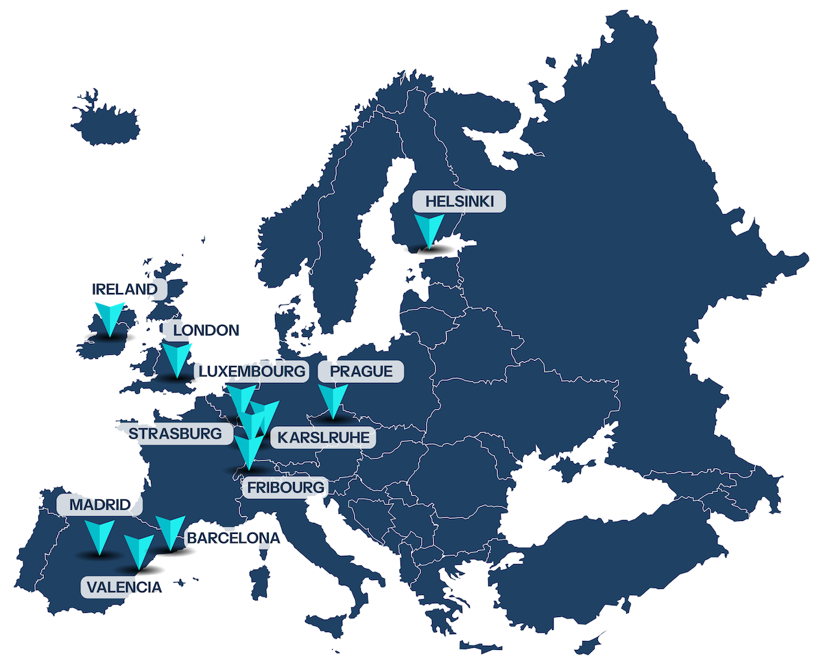
How is Galileo supporting Europe’s public transport?
Galileo is already supporting public transport users throughout Europe. A key goal of the JULIA project is to showcase examples of cities and transport authorities using Galileo, often in addition to other Global Navigation Satellite Systems, to track the location of buses, trams or trains. This information is used to manage public transport services and to provide reliable information to citizens, such as the time of arrival of a bus at a bus stop.
The Galileo Map illustrates examples of public transport systems where Galileo is already being utilised or planned to be utilised in the near future. For each area on the map, we have done market research to estimate the numbers of vehicles and users benefiting from Galileo. Click on each area to find out more!
Do you know any other cities or operators that are using Galileo in their public transport management systems?
Contact us and help us put them on the map!


