Galileo
Discover Galileo: Europe’s Global Navigation Satellite System (GNSS)
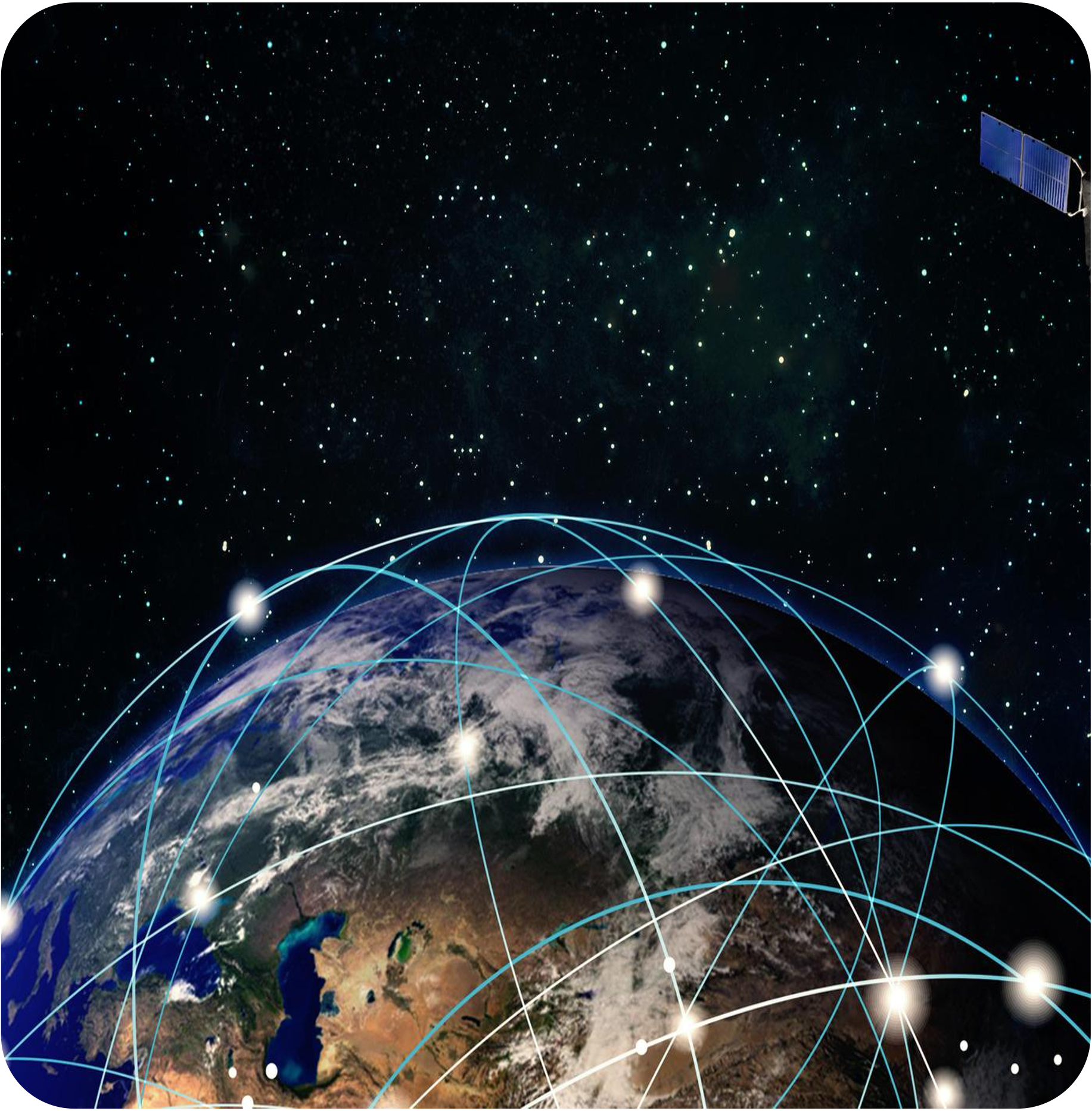
Galileo, developed by the European Space Agency and the European Union, delivers highly accurate positioning and timing information. Operational since 2016, it is fully independent of other global systems with 25 satellites already active.
Why is Galileo relevant for Public Transport?
- The location of the vehicles is critical information that impacts the user experience and the operator’s performance. For users, most apps rely on the exact location to provide quality and updated passenger information. For operators, location aids in service provision and operation management.
- Galileo is fully compatible with other GNSSs such as GPS. Its multifrequency capabilities allow any service provider with a multi-frequency GNSS receiver to use its signal.
- Significant benefits are obtained by doing so, particularly, high-accuracy and reliable geolocation for control, dispatch and navigation of public transport services all over the world.
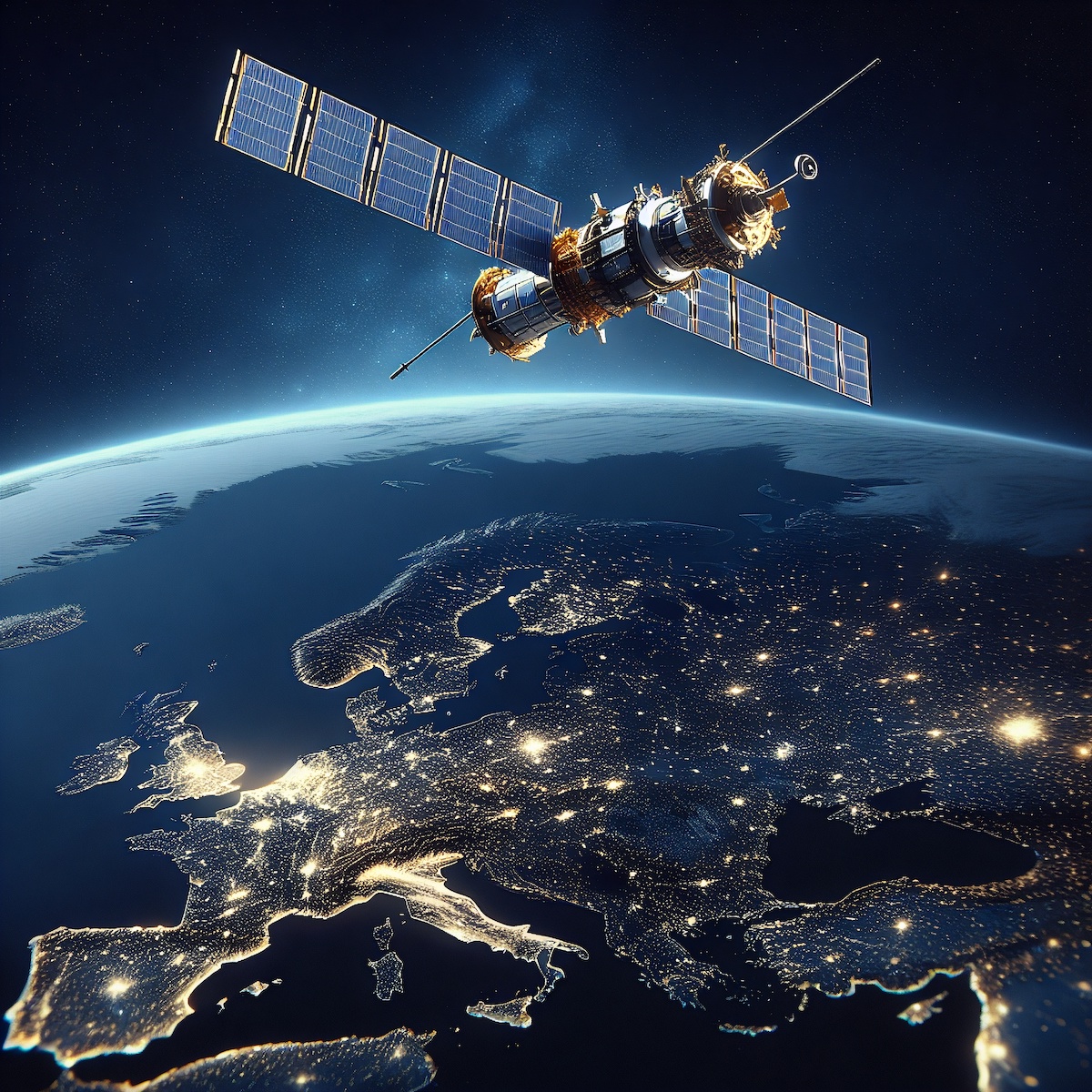
Galileo’s Key Features for Public Transport include:
Global Coverage
High Accuracy
Interoperability (With other GNSS signals)
Secure & Robust Geolocation

Copernicus
Explore Copernicus: Europe’s Vision for Earth Observation and Sustainability
Copernicus is the European Union’s Earth Observation program, gathering critical data on the Earth’s surface, atmosphere, and oceans. Coordinated by the European Space Agency, Copernicus delivers data from over 30 satellites.
Why is Copernicus relevant for Public Transport?
- Copernicus has the potential to provide public transport operators and users with a set of tools to optimise service delivery, improve resilience, and adapt to environmental changes.
- Copernicus data enables applications that analyse environmental factors such as air quality, urban heat island effects, and natural events that can disrupt public transport operations. This empowers decision-makers to make data-driven decisions to enhance the reliability of these systems.
